Farmland near East Prawle
Introduction
The photograph on this page of Farmland near East Prawle by Derek Harper as part of the Geograph project.
The Geograph project started in 2005 with the aim of publishing, organising and preserving representative images for every square kilometre of Great Britain, Ireland and the Isle of Man.

There are currently over 7.5m images from over 14,400 individuals and you can help contribute to the project by visiting https://www.geograph.org.uk
Farmland near East Prawle
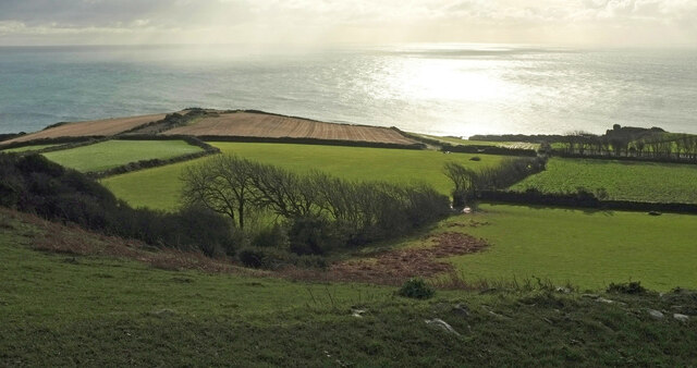
Image: © Derek Harper Taken: 28 Dec 2020
Looking left from Image] towards Langerstone Point and across the upper raised beach.
Images are licensed for reuse under creativecommons.org/licenses/by-sa/2.0
Image Location


Leaflet Map data © OpenStreetMap
Latitude
50.211966
Longitude
-3.709647