Track along the edge of Beech Wood
Introduction
The photograph on this page of Track along the edge of Beech Wood by Lairich Rig as part of the Geograph project.
The Geograph project started in 2005 with the aim of publishing, organising and preserving representative images for every square kilometre of Great Britain, Ireland and the Isle of Man.

There are currently over 7.5m images from over 14,400 individuals and you can help contribute to the project by visiting https://www.geograph.org.uk
Track along the edge of Beech Wood
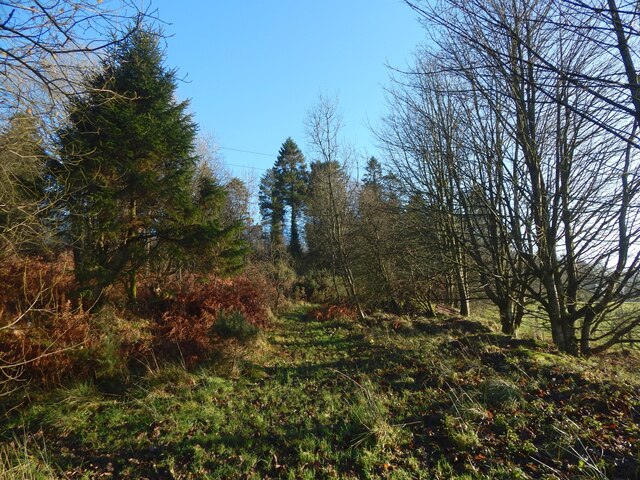
Image: © Lairich Rig Taken: 28 Nov 2020
The track is marked on the 1:25000 map. See Image for a view from about 100 metres further on. To the right is a field; this woodland edge is shown from across that field in Image
Images are licensed for reuse under creativecommons.org/licenses/by-sa/2.0
Image Location
Latitude
55.971251
Longitude
-4.559735