Former site of Aitkenbar Primary School
Introduction
The photograph on this page of Former site of Aitkenbar Primary School by Lairich Rig as part of the Geograph project.
The Geograph project started in 2005 with the aim of publishing, organising and preserving representative images for every square kilometre of Great Britain, Ireland and the Isle of Man.

There are currently over 7.5m images from over 14,400 individuals and you can help contribute to the project by visiting https://www.geograph.org.uk
Former site of Aitkenbar Primary School
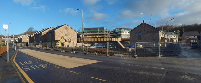
Image: © Lairich Rig Taken: 25 Nov 2020
The view is from the junction of Whiteford Avenue (foreground) and Whiteford Crescent (receding on the right). Compare Image (with the same zebra crossing visible), and Image (from just beyond that crossing), which were taken, respectively, a year earlier and eight months earlier.
Images are licensed for reuse under creativecommons.org/licenses/by-sa/2.0
Image Location
Latitude
55.95409
Longitude
-4.546426