A snow covered Kingsway, Stourport-on-Severn, Worcs
Introduction
The photograph on this page of A snow covered Kingsway, Stourport-on-Severn, Worcs by P L Chadwick as part of the Geograph project.
The Geograph project started in 2005 with the aim of publishing, organising and preserving representative images for every square kilometre of Great Britain, Ireland and the Isle of Man.

There are currently over 7.5m images from over 14,400 individuals and you can help contribute to the project by visiting https://www.geograph.org.uk
A snow covered Kingsway, Stourport-on-Severn, Worcs
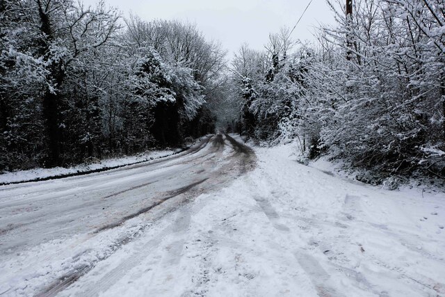
Image: © P L Chadwick Taken: 28 Dec 2020
A snow covered Kingsway after a very heavy December snow fall. The road in this direction shortly enters the edge of the town's built-up area and becomes Burlish Crossing. Named after the railway level crossing, which used to cross the road many decades ago.
Images are licensed for reuse under creativecommons.org/licenses/by-sa/2.0
Image Location
Latitude
52.358582
Longitude
-2.286288