Bridgend
Introduction
The photograph on this page of Bridgend by Anne Burgess as part of the Geograph project.
The Geograph project started in 2005 with the aim of publishing, organising and preserving representative images for every square kilometre of Great Britain, Ireland and the Isle of Man.

There are currently over 7.5m images from over 14,400 individuals and you can help contribute to the project by visiting https://www.geograph.org.uk
Bridgend
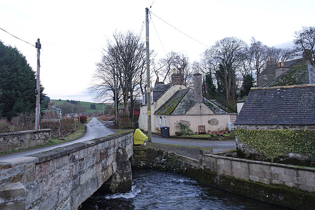
Image: © Anne Burgess Taken: 15 Dec 2020
The bridge carries the road over the Ness Bogie. The harled house beyond the bridge is a former school house.
Images are licensed for reuse under creativecommons.org/licenses/by-sa/2.0
Image Location
Latitude
57.410074
Longitude
-2.808419