Towards Mochrum Farm
Introduction
The photograph on this page of Towards Mochrum Farm by Mary and Angus Hogg as part of the Geograph project.
The Geograph project started in 2005 with the aim of publishing, organising and preserving representative images for every square kilometre of Great Britain, Ireland and the Isle of Man.

There are currently over 7.5m images from over 14,400 individuals and you can help contribute to the project by visiting https://www.geograph.org.uk
Towards Mochrum Farm
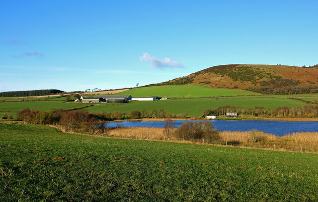
Image: © Mary and Angus Hogg Taken: 24 Dec 2020
Mochrum Farm lies between the hill and loch of the same name. The local angling club huts are shown on the shoreline in this late-December view.
Images are licensed for reuse under creativecommons.org/licenses/by-sa/2.0
Image Location
Latitude
55.347847
Longitude
-4.736407