Part of the site for Brighouse Garden Suburb (SW corner)
Introduction
The photograph on this page of Part of the site for Brighouse Garden Suburb (SW corner) by Stephen Craven as part of the Geograph project.
The Geograph project started in 2005 with the aim of publishing, organising and preserving representative images for every square kilometre of Great Britain, Ireland and the Isle of Man.

There are currently over 7.5m images from over 14,400 individuals and you can help contribute to the project by visiting https://www.geograph.org.uk
Part of the site for Brighouse Garden Suburb (SW corner)
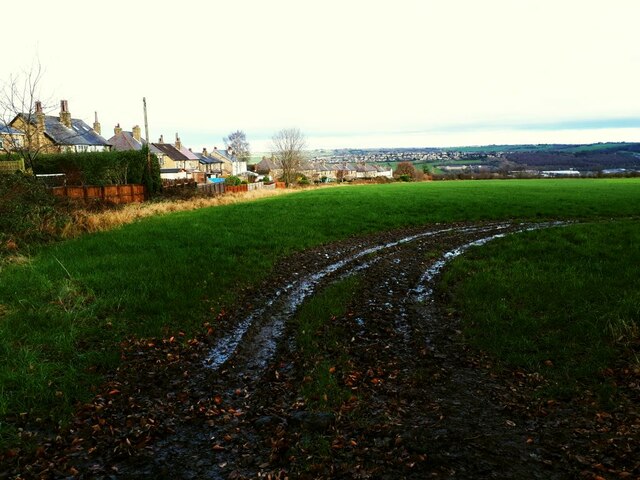
Image: © Stephen Craven Taken: 24 Dec 2020
This field may shortly become part of a proposed housing development called "Brighouse Garden Suburb" comprising 1257 properties on 62ha of land. Construction was planned to be phased from 2020-2033, although the 2020 Covid-19 pandemic seems to have delayed the start of construction.
Images are licensed for reuse under creativecommons.org/licenses/by-sa/2.0
Image Location
Latitude
53.687231
Longitude
-1.779799