Fletchamstead Highway
Introduction
The photograph on this page of Fletchamstead Highway by E Gammie as part of the Geograph project.
The Geograph project started in 2005 with the aim of publishing, organising and preserving representative images for every square kilometre of Great Britain, Ireland and the Isle of Man.

There are currently over 7.5m images from over 14,400 individuals and you can help contribute to the project by visiting https://www.geograph.org.uk
Fletchamstead Highway
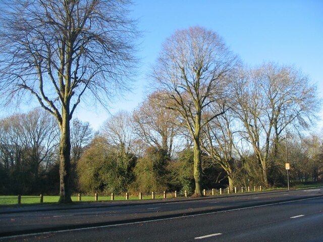
Image: © E Gammie Taken: 27 Dec 2020
Looking across the A45 (Fletchamstead Highway) towards Tutbury Fields open space bordering Canley Brook.
Images are licensed for reuse under creativecommons.org/licenses/by-sa/2.0
Image Location
Latitude
52.388066
Longitude
-1.54093