Bilton Church House
Introduction
The photograph on this page of Bilton Church House by Stephen McKay as part of the Geograph project.
The Geograph project started in 2005 with the aim of publishing, organising and preserving representative images for every square kilometre of Great Britain, Ireland and the Isle of Man.

There are currently over 7.5m images from over 14,400 individuals and you can help contribute to the project by visiting https://www.geograph.org.uk
Bilton Church House
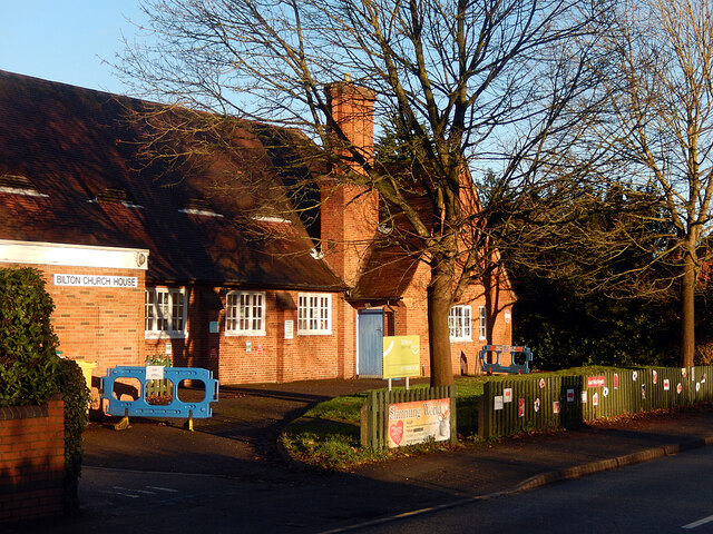
Image: © Stephen McKay Taken: 24 Dec 2020
The Church House on Bilton Road acts as a village hall but has been sold by the church. Compare this view with Image taken ten years earlier. The temporary blue barriers appear to be part of the Covid-19 arrangements.
Images are licensed for reuse under creativecommons.org/licenses/by-sa/2.0
Image Location
Latitude
52.360033
Longitude
-1.289824