Mill Road revisited (8)
Introduction
The photograph on this page of Mill Road revisited (8) by Keith Edkins as part of the Geograph project.
The Geograph project started in 2005 with the aim of publishing, organising and preserving representative images for every square kilometre of Great Britain, Ireland and the Isle of Man.

There are currently over 7.5m images from over 14,400 individuals and you can help contribute to the project by visiting https://www.geograph.org.uk
Mill Road revisited (8)
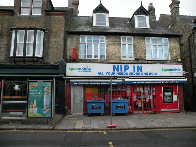
Image: © Keith Edkins Taken: 25 Dec 2020
Same view as Image Still the Nip In but now has an illuminated fascia sign. Next: Image
Images are licensed for reuse under creativecommons.org/licenses/by-sa/2.0
Image Location


Leaflet Map data © OpenStreetMap
Latitude
52.201009
Longitude
0.133912