Rear of Rhiw Syr Dafydd Primary School, Oakdale
Introduction
The photograph on this page of Rear of Rhiw Syr Dafydd Primary School, Oakdale by M J Roscoe as part of the Geograph project.
The Geograph project started in 2005 with the aim of publishing, organising and preserving representative images for every square kilometre of Great Britain, Ireland and the Isle of Man.

There are currently over 7.5m images from over 14,400 individuals and you can help contribute to the project by visiting https://www.geograph.org.uk
Rear of Rhiw Syr Dafydd Primary School, Oakdale
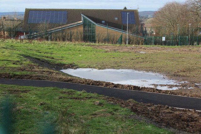
Image: © M J Roscoe Taken: 25 Dec 2020
East end of the school next to the part finished Community Athletics Hub on the site of a former sports field. The path in the foreground leads from a public footpath Image via a gate to the athletics track Image
Images are licensed for reuse under creativecommons.org/licenses/by-sa/2.0
Image Location
Latitude
51.680033
Longitude
-3.172648