Looking towards Clashmach Hill
Introduction
The photograph on this page of Looking towards Clashmach Hill by Anne Burgess as part of the Geograph project.
The Geograph project started in 2005 with the aim of publishing, organising and preserving representative images for every square kilometre of Great Britain, Ireland and the Isle of Man.

There are currently over 7.5m images from over 14,400 individuals and you can help contribute to the project by visiting https://www.geograph.org.uk
Looking towards Clashmach Hill
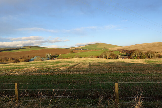
Image: © Anne Burgess Taken: 15 Dec 2020
Clashmach Hill is on the skyline to the right, and Brawlandknowes is on its lower slope. Further down to the left is Mill of Bridgend. The hill with forest on the summit is Gallow Hill.
Images are licensed for reuse under creativecommons.org/licenses/by-sa/2.0
Image Location
Latitude
57.411281
Longitude
-2.816269