
West Stonefolds
Introduction
The photograph on this page of West Stonefolds by Andy Waddington as part of the Geograph project.
The Geograph project started in 2005 with the aim of publishing, organising and preserving representative images for every square kilometre of Great Britain, Ireland and the Isle of Man.

There are currently over 7.5m images from over 14,400 individuals and you can help contribute to the project by visiting https://www.geograph.org.uk
West Stonefolds
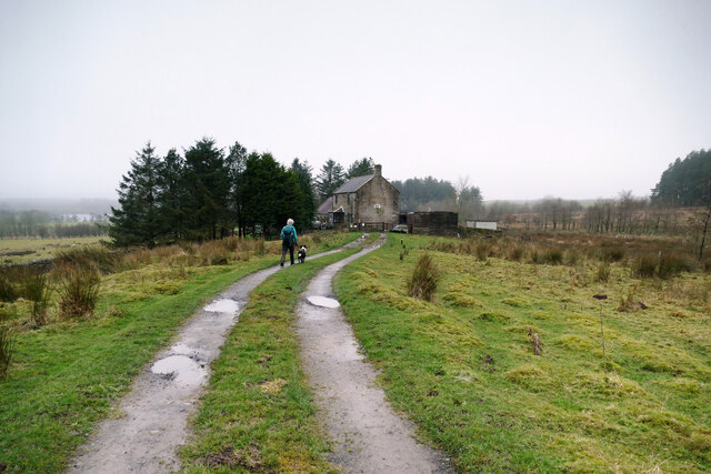
Image: © Andy Waddington Taken: 11 Dec 2020
West Stonefolds is a long way from the public road and the access track comes through the eastern fringes of Wark forest from a road away to the north. The track ends here, but carries a public footpath which continues through the curtilege of the farmhouse and onwards to the west. However, the owners have had the courtesy to provide access round the back of the house via a permissive path which avoids the hassle of a footpath diversion order whilst allowing everyone to avoid privacy issues.
Images are licensed for reuse under creativecommons.org/licenses/by-sa/2.0
Image Location

Latitude
55.026705
Longitude
-2.357717