Housing Drainage
Introduction
The photograph on this page of Housing Drainage by Gordon Griffiths as part of the Geograph project.
The Geograph project started in 2005 with the aim of publishing, organising and preserving representative images for every square kilometre of Great Britain, Ireland and the Isle of Man.

There are currently over 7.5m images from over 14,400 individuals and you can help contribute to the project by visiting https://www.geograph.org.uk
Housing Drainage
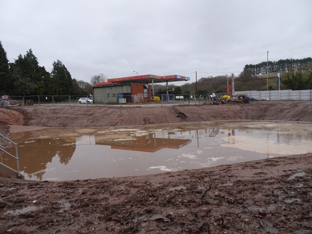
Image: © Gordon Griffiths Taken: 22 Dec 2020
The view from Beggars Bush lane in Wombourne of the new Fletcher's Rise housing development.
Images are licensed for reuse under creativecommons.org/licenses/by-sa/2.0
Image Location
Latitude
52.528343
Longitude
-2.180083