Bregsells Drive
Introduction
The photograph on this page of Bregsells Drive by Ian Capper as part of the Geograph project.
The Geograph project started in 2005 with the aim of publishing, organising and preserving representative images for every square kilometre of Great Britain, Ireland and the Isle of Man.

There are currently over 7.5m images from over 14,400 individuals and you can help contribute to the project by visiting https://www.geograph.org.uk
Bregsells Drive
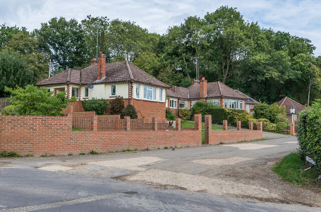
Image: © Ian Capper Taken: 4 Sep 2020
Pair of c1960s houses in Bregsells Drive, at the start of Bregsells Lane, Tumblewood on the left and Alpenrose beyond.
Images are licensed for reuse under creativecommons.org/licenses/by-sa/2.0
Image Location
Latitude
51.181316
Longitude
-0.319302