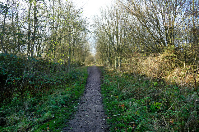
Hart to Haswell Walkway towards Hesleden
Introduction
The photograph on this page of Hart to Haswell Walkway towards Hesleden by Andy Waddington as part of the Geograph project.
The Geograph project started in 2005 with the aim of publishing, organising and preserving representative images for every square kilometre of Great Britain, Ireland and the Isle of Man.
There are currently over 7.5m images from over 14,400 individuals and you can help contribute to the project by visiting https://www.geograph.org.uk

Image: © Andy Waddington Taken: 30 Nov 2020
Despite the name (which is the Haswell to Hart Countryside Walkway if you start at the other end), the OS Map designates this as a traffic free cycle route. Following the trackbed of a railway closed under the Beeching axe in 1964 (even earlier for passengers) it forms an easy, if monotonously level, route for non-motorised travel and is pleasantly free of gates and stiles. I should mention that it doesn't quite reach Haswell, and goes nowhere close to Hart.

