The end of the riverside footpath
Introduction
The photograph on this page of The end of the riverside footpath by Alan Murray-Rust as part of the Geograph project.
The Geograph project started in 2005 with the aim of publishing, organising and preserving representative images for every square kilometre of Great Britain, Ireland and the Isle of Man.

There are currently over 7.5m images from over 14,400 individuals and you can help contribute to the project by visiting https://www.geograph.org.uk
The end of the riverside footpath
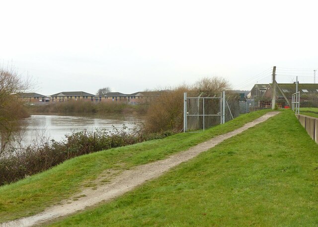
Image: © Alan Murray-Rust Taken: 22 Dec 2020
Here it turns away from the river, following a long-standing route that pre-dates the Colwick Industrial Estate.
Images are licensed for reuse under creativecommons.org/licenses/by-sa/2.0
Image Location
Latitude
52.95618
Longitude
-1.072146