Old Horsham Road
Introduction
The photograph on this page of Old Horsham Road by Ian Capper as part of the Geograph project.
The Geograph project started in 2005 with the aim of publishing, organising and preserving representative images for every square kilometre of Great Britain, Ireland and the Isle of Man.

There are currently over 7.5m images from over 14,400 individuals and you can help contribute to the project by visiting https://www.geograph.org.uk
Old Horsham Road
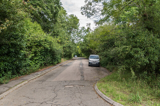
Image: © Ian Capper Taken: 4 Sep 2020
Part of the original Dorking to Horsham road until bypassed in the early 1970s by the current A24 when this section became a cul-de-sac.
Images are licensed for reuse under creativecommons.org/licenses/by-sa/2.0
Image Location
Latitude
51.185333
Longitude
-0.322204