Bridge over the Glazert Water and old railway line
Introduction
The photograph on this page of Bridge over the Glazert Water and old railway line by Richard Sutcliffe as part of the Geograph project.
The Geograph project started in 2005 with the aim of publishing, organising and preserving representative images for every square kilometre of Great Britain, Ireland and the Isle of Man.

There are currently over 7.5m images from over 14,400 individuals and you can help contribute to the project by visiting https://www.geograph.org.uk
Bridge over the Glazert Water and old railway line
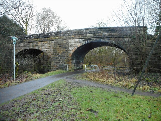
Image: © Richard Sutcliffe Taken: 22 Dec 2020
The double span bridge carries South Brae over the former Blane Valley Railway line, and the Glazert Water. The old railway line is now the route of the Strathkelvin Railway Path. The photograph was taken from the site of Lennoxtown Station, of which nothing remains.
Images are licensed for reuse under creativecommons.org/licenses/by-sa/2.0
Image Location
Latitude
55.972286
Longitude
-4.204001