Converted church at Lambley
Introduction
The photograph on this page of Converted church at Lambley by Trevor Littlewood as part of the Geograph project.
The Geograph project started in 2005 with the aim of publishing, organising and preserving representative images for every square kilometre of Great Britain, Ireland and the Isle of Man.

There are currently over 7.5m images from over 14,400 individuals and you can help contribute to the project by visiting https://www.geograph.org.uk
Converted church at Lambley
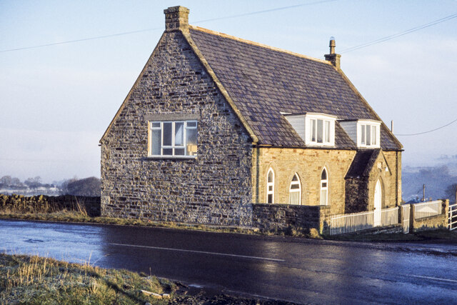
Image: © Trevor Littlewood Taken: 23 Dec 1978
The building is at the road junction at Lambley where the A689 makes a fairly sharp bend between north / south and west / east. Even at the end of 1978 when the image was recorded the church had been converted to a dwelling.
Images are licensed for reuse under creativecommons.org/licenses/by-sa/2.0
Image Location


Leaflet Map data © OpenStreetMap
Latitude
54.919479
Longitude
-2.513712