Guy Road, Kenilworth
Introduction
The photograph on this page of Guy Road, Kenilworth by Stephen McKay as part of the Geograph project.
The Geograph project started in 2005 with the aim of publishing, organising and preserving representative images for every square kilometre of Great Britain, Ireland and the Isle of Man.

There are currently over 7.5m images from over 14,400 individuals and you can help contribute to the project by visiting https://www.geograph.org.uk
Guy Road, Kenilworth
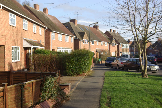
Image: © Stephen McKay Taken: 27 Jan 2008
Local authority built housing in the St Johns area of Kenilworth.
Images are licensed for reuse under creativecommons.org/licenses/by-sa/2.0
Image Location
Latitude
52.335793
Longitude
-1.578455