Glazert Water
Introduction
The photograph on this page of Glazert Water by Richard Sutcliffe as part of the Geograph project.
The Geograph project started in 2005 with the aim of publishing, organising and preserving representative images for every square kilometre of Great Britain, Ireland and the Isle of Man.

There are currently over 7.5m images from over 14,400 individuals and you can help contribute to the project by visiting https://www.geograph.org.uk
Glazert Water
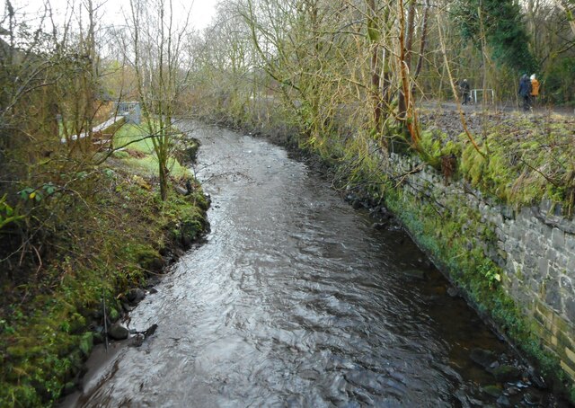
Image: © Richard Sutcliffe Taken: 22 Dec 2020
Seen from the bridge carrying Chestnut Walk over the river. On the right, some walkers are following part of the Strathkelvin Railway Path, which follows the line of the former Blane Valley Railway. The image replicates the first submitted for this square in 2006 Image
Images are licensed for reuse under creativecommons.org/licenses/by-sa/2.0
Image Location
Latitude
55.968931
Longitude
-4.195637