Track to Ferguson Park
Introduction
The photograph on this page of Track to Ferguson Park by Richard Sutcliffe as part of the Geograph project.
The Geograph project started in 2005 with the aim of publishing, organising and preserving representative images for every square kilometre of Great Britain, Ireland and the Isle of Man.

There are currently over 7.5m images from over 14,400 individuals and you can help contribute to the project by visiting https://www.geograph.org.uk
Track to Ferguson Park
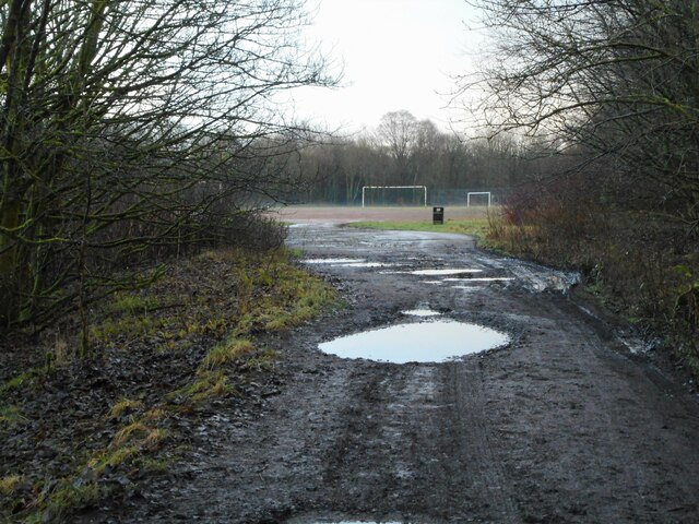
Image: © Richard Sutcliffe Taken: 22 Dec 2020
The track leads from Chestnut Walk to the Ferguson Park Recreation Ground in the distance. The pot holes are full of water after a recent rain shower.
Images are licensed for reuse under creativecommons.org/licenses/by-sa/2.0
Image Location
Latitude
55.968757
Longitude
-4.195307