Mead Way, Old Coulsdon, Surrey
Introduction
The photograph on this page of Mead Way, Old Coulsdon, Surrey by Dr Neil Clifton as part of the Geograph project.
The Geograph project started in 2005 with the aim of publishing, organising and preserving representative images for every square kilometre of Great Britain, Ireland and the Isle of Man.

There are currently over 7.5m images from over 14,400 individuals and you can help contribute to the project by visiting https://www.geograph.org.uk
Mead Way, Old Coulsdon, Surrey
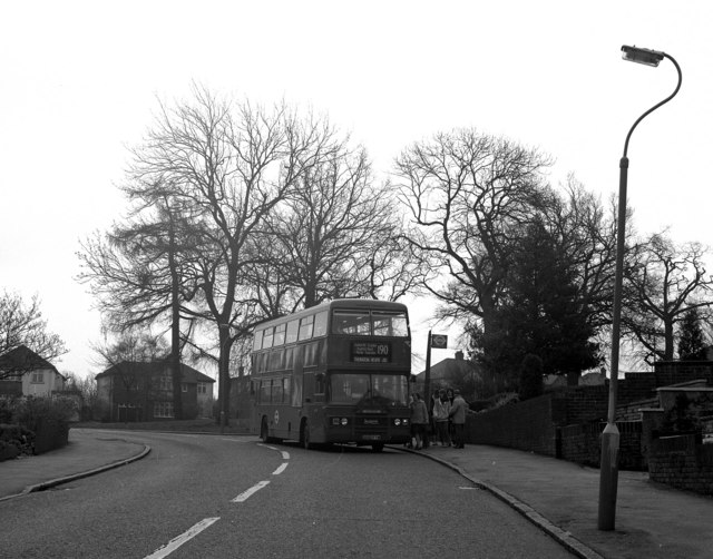
Image: © Dr Neil Clifton Taken: 31 Mar 1998
A Leyland Olympian on Route 190 calls at the stop at the top of Mead Way. The road round to the right beyond the bus is Tollers Lane.
Images are licensed for reuse under creativecommons.org/licenses/by-sa/2.0
Image Location
Latitude
51.305199
Longitude
-0.124975