Upper House (Pembridge)
Introduction
The photograph on this page of Upper House (Pembridge) by Fabian Musto as part of the Geograph project.
The Geograph project started in 2005 with the aim of publishing, organising and preserving representative images for every square kilometre of Great Britain, Ireland and the Isle of Man.

There are currently over 7.5m images from over 14,400 individuals and you can help contribute to the project by visiting https://www.geograph.org.uk
Upper House (Pembridge)
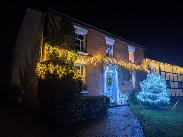
Image: © Fabian Musto Taken: 21 Dec 2020
Opposite West End Farm is Upper House, which looks like it was built in the 18th to 19th century. The Christmas decorations and tree outside the house looked nice when I visited in late December 2020.
Images are licensed for reuse under creativecommons.org/licenses/by-sa/2.0
Image Location


Leaflet Map data © OpenStreetMap
Latitude
52.217606
Longitude
-2.897223