Hemel Hempstead: Green lane near Cupid Green Lane
Introduction
The photograph on this page of Hemel Hempstead: Green lane near Cupid Green Lane by Nigel Cox as part of the Geograph project.
The Geograph project started in 2005 with the aim of publishing, organising and preserving representative images for every square kilometre of Great Britain, Ireland and the Isle of Man.

There are currently over 7.5m images from over 14,400 individuals and you can help contribute to the project by visiting https://www.geograph.org.uk
Hemel Hempstead: Green lane near Cupid Green Lane
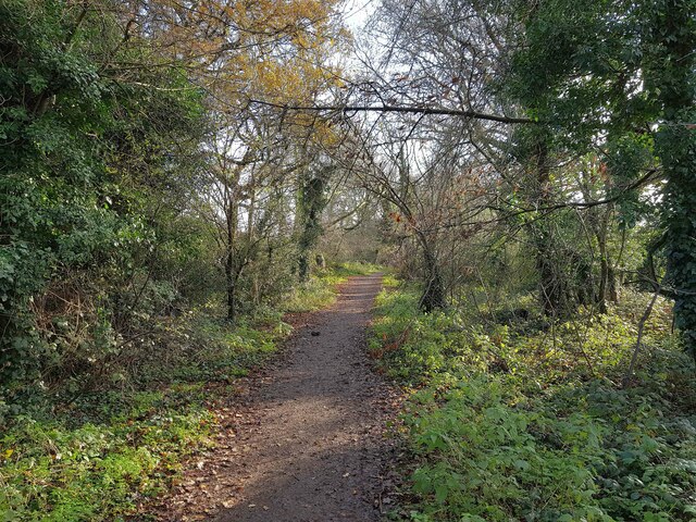
Image: © Nigel Cox Taken: 17 Dec 2020
Before the residential development of the north side of Hemel Hempstead, this green lane linked Three Cherry Trees Lane with Cupid Green Lane near St Agnell's Farmhouse.
Images are licensed for reuse under creativecommons.org/licenses/by-sa/2.0
Image Location
Latitude
51.777949
Longitude
-0.446679