Hemel Hempstead: St Agnell's Farmhouse
Introduction
The photograph on this page of Hemel Hempstead: St Agnell's Farmhouse by Nigel Cox as part of the Geograph project.
The Geograph project started in 2005 with the aim of publishing, organising and preserving representative images for every square kilometre of Great Britain, Ireland and the Isle of Man.

There are currently over 7.5m images from over 14,400 individuals and you can help contribute to the project by visiting https://www.geograph.org.uk
Hemel Hempstead: St Agnell's Farmhouse
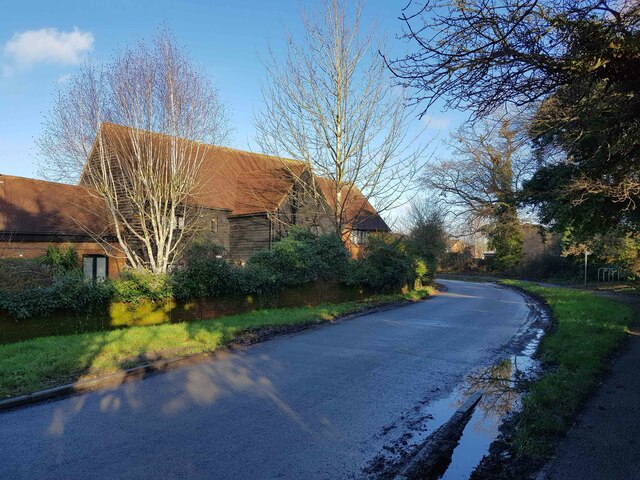
Image: © Nigel Cox Taken: 17 Dec 2020
St Agnell's Farmhouse in Cupid Green Lane is a Grade II Listed Building that has been swallowed up by the residential housing developments on the north side of Hemel Hempstead. Old Ordnance Survey large scale maps show it as Agnell's Farm from 1878 through to 1938. Only in 1960 had it become St Agnell's Farm.
Images are licensed for reuse under creativecommons.org/licenses/by-sa/2.0
Image Location
Latitude
51.778773
Longitude
-0.44781