Beck and road at the south end of Swainby
Introduction
The photograph on this page of Beck and road at the south end of Swainby by Gordon Hatton as part of the Geograph project.
The Geograph project started in 2005 with the aim of publishing, organising and preserving representative images for every square kilometre of Great Britain, Ireland and the Isle of Man.

There are currently over 7.5m images from over 14,400 individuals and you can help contribute to the project by visiting https://www.geograph.org.uk
Beck and road at the south end of Swainby
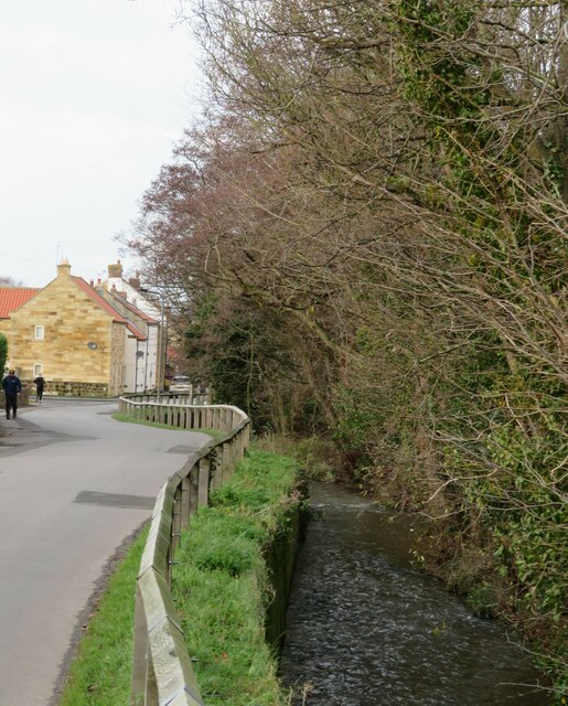
Image: © Gordon Hatton Taken: 20 Dec 2020
The beck runs through the centre of the village with roads either side a little further downstream. One presumes that it is Scugdale Beck at this point, but further downstream it becomes Potto Beck.
Images are licensed for reuse under creativecommons.org/licenses/by-sa/2.0
Image Location


Leaflet Map data © OpenStreetMap
Latitude
54.40959
Longitude
-1.263822