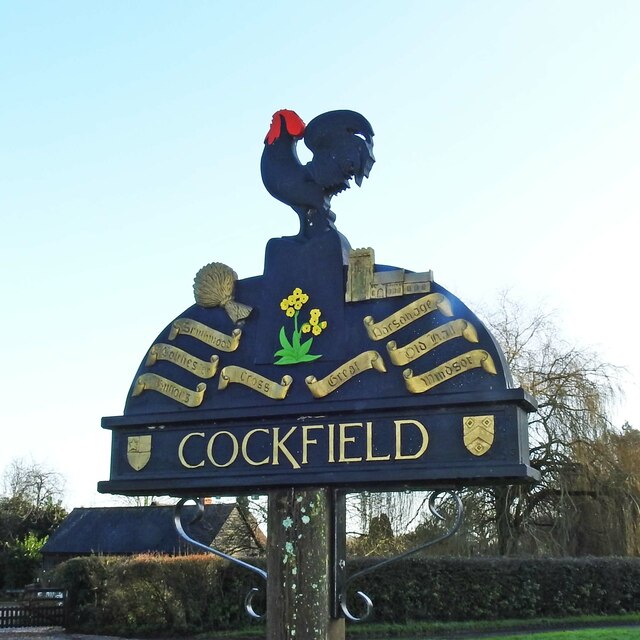
Cockfield village sign
Introduction
The photograph on this page of Cockfield village sign by Adrian S Pye as part of the Geograph project.
The Geograph project started in 2005 with the aim of publishing, organising and preserving representative images for every square kilometre of Great Britain, Ireland and the Isle of Man.
There are currently over 7.5m images from over 14,400 individuals and you can help contribute to the project by visiting https://www.geograph.org.uk

Image: © Adrian S Pye Taken: 20 Dec 2020
The wheatsheaf reflects the agricultural heritage and St. Peter’s church, in part dates back to the 12th century. The names on the scrolls are names of the ‘Greens’ in the parish. Great Green was dug up and farmed during the war, Buttons, Old Hall, Smithwood and Windsor Greens are all in private hands, whilst Cross Green was gifted to the parish and Parsonage Green purchased for the parish by public subscription. The oxlip is representative of Bull’s Wood where it grows in profusion. The crests are of the De Vere and the Spring families, both with strong connections with the Manor.

