The water gauge
Introduction
The photograph on this page of The water gauge by Bob Harvey as part of the Geograph project.
The Geograph project started in 2005 with the aim of publishing, organising and preserving representative images for every square kilometre of Great Britain, Ireland and the Isle of Man.

There are currently over 7.5m images from over 14,400 individuals and you can help contribute to the project by visiting https://www.geograph.org.uk
The water gauge
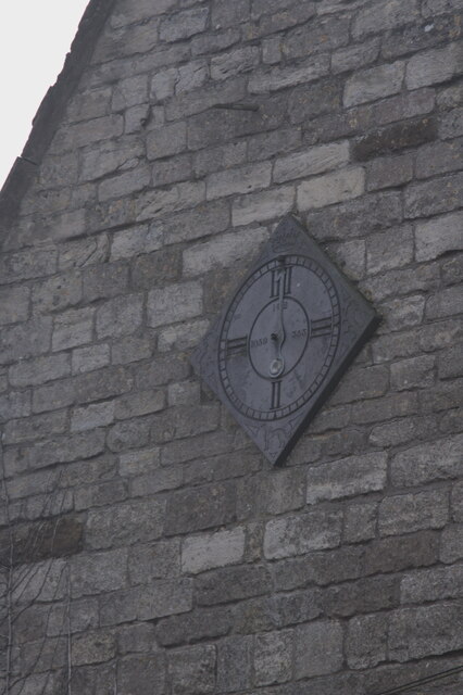
Image: © Bob Harvey Taken: 20 Dec 2020
Not a clock, but the erstwhile water gauge for the water tank in the house that once supplied the village.
Images are licensed for reuse under creativecommons.org/licenses/by-sa/2.0
Image Location
Latitude
52.930577
Longitude
-0.582706