Westerton standing stone
Introduction
The photograph on this page of Westerton standing stone by Sandy Gerrard as part of the Geograph project.
The Geograph project started in 2005 with the aim of publishing, organising and preserving representative images for every square kilometre of Great Britain, Ireland and the Isle of Man.

There are currently over 7.5m images from over 14,400 individuals and you can help contribute to the project by visiting https://www.geograph.org.uk
Westerton standing stone
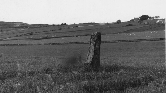
Image: © Sandy Gerrard Taken: Unknown
Standing stone with cup marks and an incised figure. https://canmore.org.uk/site/34906/westerton
Images are licensed for reuse under creativecommons.org/licenses/by-sa/2.0
Image Location
Latitude
56.658291
Longitude
-2.757834