View towards Rivendell
Introduction
The photograph on this page of View towards Rivendell by Alan Murray-Rust as part of the Geograph project.
The Geograph project started in 2005 with the aim of publishing, organising and preserving representative images for every square kilometre of Great Britain, Ireland and the Isle of Man.

There are currently over 7.5m images from over 14,400 individuals and you can help contribute to the project by visiting https://www.geograph.org.uk
View towards Rivendell
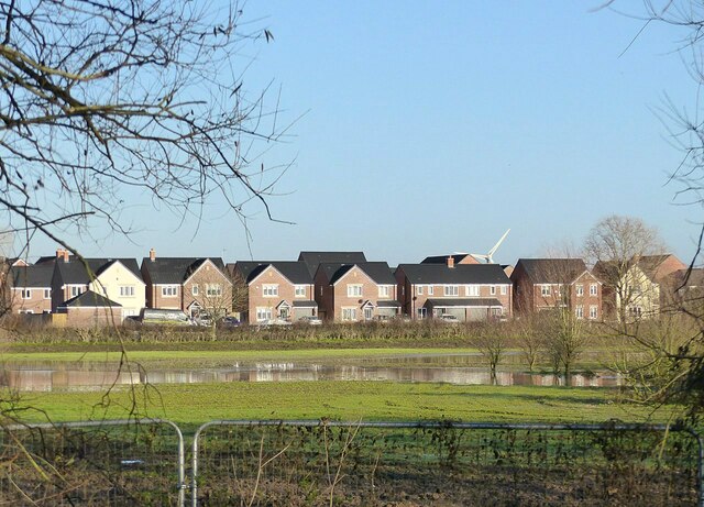
Image: © Alan Murray-Rust Taken: 17 Dec 2020
Not exactly the 'last homely house' of the Tolkien stories, and not my idea of a 'des.res.'. This is a substantial development which has not convenient public transport which means that residents will be tied to private transport for at least the foreseeable future. The developer's description that “There’s a frequent bus service running into Nottingham every 30 minutes from Florence Road which is just a 10-minute walk from Rivendell.” is disingenuous to say the least. The Traffic Commissioners who are the official monitors of bus operation define a 'frequent' service as one that runs at least every 10 minutes, while the '10 minute walk' from Florence Road will just get you to the northern edge of the development, not yet commenced. From the further end of the development, away from the A612, the walking time would be best part of 30 minutes, well beyond what is generally considered an acceptable walking time to a bus service.
Images are licensed for reuse under creativecommons.org/licenses/by-sa/2.0
Image Location
Latitude
52.964548
Longitude
-1.061693