Pond adjacent to the Rivendell development
Introduction
The photograph on this page of Pond adjacent to the Rivendell development by Alan Murray-Rust as part of the Geograph project.
The Geograph project started in 2005 with the aim of publishing, organising and preserving representative images for every square kilometre of Great Britain, Ireland and the Isle of Man.

There are currently over 7.5m images from over 14,400 individuals and you can help contribute to the project by visiting https://www.geograph.org.uk
Pond adjacent to the Rivendell development
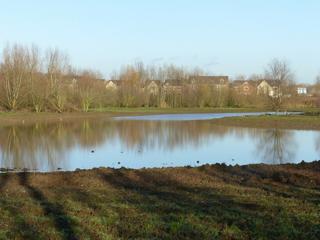
Image: © Alan Murray-Rust Taken: 17 Dec 2020
The foreground area is being developed as open space adjacent to the new development.
Images are licensed for reuse under creativecommons.org/licenses/by-sa/2.0
Image Location
Latitude
52.962017
Longitude
-1.059813