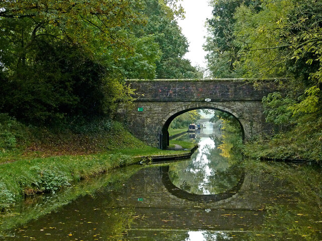
Dirty Lane Bridge near Wheaton Aston in Staffordshire
Introduction
The photograph on this page of Dirty Lane Bridge near Wheaton Aston in Staffordshire by Roger Kidd as part of the Geograph project.
The Geograph project started in 2005 with the aim of publishing, organising and preserving representative images for every square kilometre of Great Britain, Ireland and the Isle of Man.
There are currently over 7.5m images from over 14,400 individuals and you can help contribute to the project by visiting https://www.geograph.org.uk

Image: © Roger Kidd Taken: 23 Oct 2012
Looking south-east towards Wheaton Aston, Brewood and Wolverhampton. Dirty Lane Bridge is No 20 across the Shropshire Union Canal and was an accommodation bridge (Grade II listed). At least one map calls it Mills's Bridge. When housing was built off to the left. developers decided Dirty Lane needed to be renamed! (Long Street on some maps - surely not). Off to the right, the unsurfaced Downford Lane is only used as a farm track, and goes nowhere. I don't know if it still is a public right of way.

