Cliffs at Redness Point, Whitehaven
Introduction
The photograph on this page of Cliffs at Redness Point, Whitehaven by Humphrey Bolton as part of the Geograph project.
The Geograph project started in 2005 with the aim of publishing, organising and preserving representative images for every square kilometre of Great Britain, Ireland and the Isle of Man.

There are currently over 7.5m images from over 14,400 individuals and you can help contribute to the project by visiting https://www.geograph.org.uk
Cliffs at Redness Point, Whitehaven
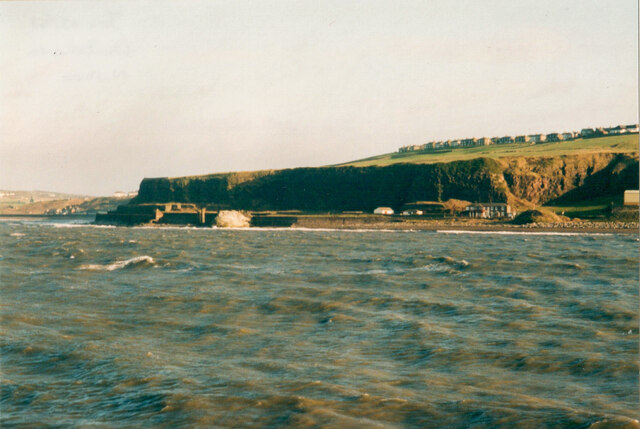
Image: © Humphrey Bolton Taken: Unknown
I think this was taken from the North Pier lighthouse, but possibly from the West Pier Lighthouse. The quarry on the right was captioned 'Old Quarry' on the 1899 map, but not shown at all on the first edition, c.1870. '
Images are licensed for reuse under creativecommons.org/licenses/by-sa/2.0
Image Location
Latitude
54.557761
Longitude
-3.589436