Curve in road at top of Francis Avenue
Introduction
The photograph on this page of Curve in road at top of Francis Avenue by Basher Eyre as part of the Geograph project.
The Geograph project started in 2005 with the aim of publishing, organising and preserving representative images for every square kilometre of Great Britain, Ireland and the Isle of Man.

There are currently over 7.5m images from over 14,400 individuals and you can help contribute to the project by visiting https://www.geograph.org.uk
Curve in road at top of Francis Avenue
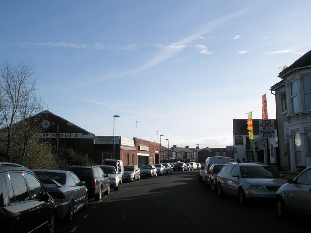
Image: © Basher Eyre Taken: 26 Jan 2008
Where it was built alongside the old Southsea Railway.
Images are licensed for reuse under creativecommons.org/licenses/by-sa/2.0
Image Location
Latitude
50.794605
Longitude
-1.071037