Footpath to Queniborough
Introduction
The photograph on this page of Footpath to Queniborough by Tim Heaton as part of the Geograph project.
The Geograph project started in 2005 with the aim of publishing, organising and preserving representative images for every square kilometre of Great Britain, Ireland and the Isle of Man.

There are currently over 7.5m images from over 14,400 individuals and you can help contribute to the project by visiting https://www.geograph.org.uk
Footpath to Queniborough
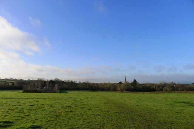
Image: © Tim Heaton Taken: 17 Dec 2020
Having crossed the ridge separating the valleys of Gaddesby Brook and Queniborough Brook, the footpath from Gaddesby heads towards the spire of St Mary's church
Images are licensed for reuse under creativecommons.org/licenses/by-sa/2.0
Image Location
Latitude
52.702664
Longitude
-1.037572