View down Rowley Bank
Introduction
The photograph on this page of View down Rowley Bank by Robert Graham as part of the Geograph project.
The Geograph project started in 2005 with the aim of publishing, organising and preserving representative images for every square kilometre of Great Britain, Ireland and the Isle of Man.

There are currently over 7.5m images from over 14,400 individuals and you can help contribute to the project by visiting https://www.geograph.org.uk
View down Rowley Bank
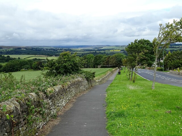
Image: © Robert Graham Taken: 13 Jul 2020
Looking down the A68 into Castleside village. There is a wide view from here across the north side of the Derwent Valley. The scattered houses of Muggleswick are visible in the distance on the left.
Images are licensed for reuse under creativecommons.org/licenses/by-sa/2.0
Image Location
Latitude
54.831359
Longitude
-1.876522