Junction of Ormonde Avenue and Crofton Road
Introduction
The photograph on this page of Junction of Ormonde Avenue and Crofton Road by Ian Capper as part of the Geograph project.
The Geograph project started in 2005 with the aim of publishing, organising and preserving representative images for every square kilometre of Great Britain, Ireland and the Isle of Man.

There are currently over 7.5m images from over 14,400 individuals and you can help contribute to the project by visiting https://www.geograph.org.uk
Junction of Ormonde Avenue and Crofton Road
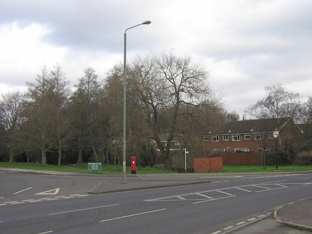
Image: © Ian Capper Taken: 25 Jan 2008
The main purpose of this photo is to put Image into context, the sign being visible to the right of the photo, directly above the end of the hatching in the middle of the road. In the centre can be seen a footpath sign - north of here through the strip of woodland runs a section of the London Loop footpath.
Images are licensed for reuse under creativecommons.org/licenses/by-sa/2.0
Image Location


Leaflet Map data © OpenStreetMap
Latitude
51.373787
Longitude
0.068925