Rock Lane, Stoke Gifford
Introduction
The photograph on this page of Rock Lane, Stoke Gifford by Derek Harper as part of the Geograph project.
The Geograph project started in 2005 with the aim of publishing, organising and preserving representative images for every square kilometre of Great Britain, Ireland and the Isle of Man.

There are currently over 7.5m images from over 14,400 individuals and you can help contribute to the project by visiting https://www.geograph.org.uk
Rock Lane, Stoke Gifford
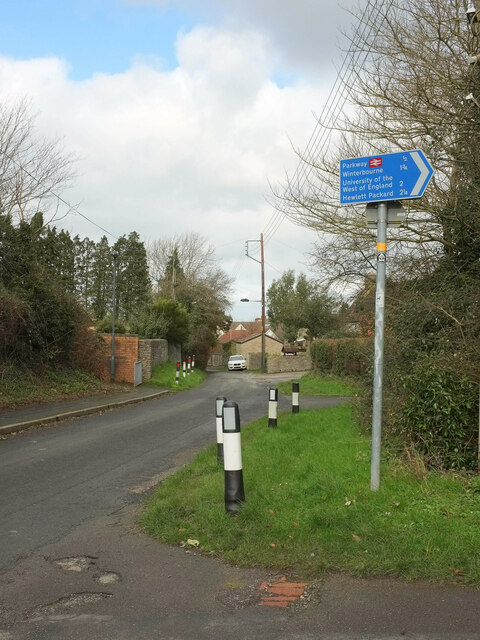
Image: © Derek Harper Taken: 3 Mar 2020
Carrying the Community Forest Path, and seen from where footpath LSG 7/10 meets it in the foreground (a path which, given the impressive list of destinations on the sign, is of some significance). Almost entirely obscured by trees along the lane is Greenwood, one of the few listed buildings in this area.
Images are licensed for reuse under creativecommons.org/licenses/by-sa/2.0
Image Location
Latitude
51.518134
Longitude
-2.538093