The back of Hilltop Commercial Centre
Introduction
The photograph on this page of The back of Hilltop Commercial Centre by Stephen Craven as part of the Geograph project.
The Geograph project started in 2005 with the aim of publishing, organising and preserving representative images for every square kilometre of Great Britain, Ireland and the Isle of Man.

There are currently over 7.5m images from over 14,400 individuals and you can help contribute to the project by visiting https://www.geograph.org.uk
The back of Hilltop Commercial Centre
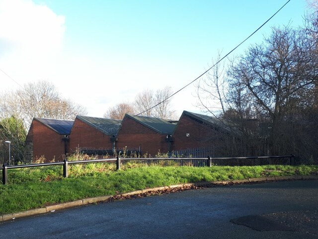
Image: © Stephen Craven Taken: 17 Dec 2020
Hilltop was originally a tannery, but the building seen here with its sawtooth roof profile is built on the site of the original millpond that was still shown on the 1965 map, so can be dated to perhaps c.1970.
Images are licensed for reuse under creativecommons.org/licenses/by-sa/2.0
Image Location
Latitude
53.808705
Longitude
-1.618651