Path, Stoke Gifford
Introduction
The photograph on this page of Path, Stoke Gifford by Derek Harper as part of the Geograph project.
The Geograph project started in 2005 with the aim of publishing, organising and preserving representative images for every square kilometre of Great Britain, Ireland and the Isle of Man.

There are currently over 7.5m images from over 14,400 individuals and you can help contribute to the project by visiting https://www.geograph.org.uk
Path, Stoke Gifford
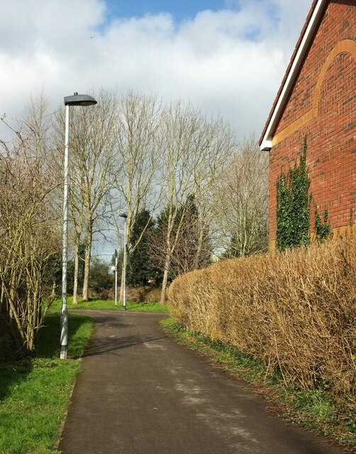
Image: © Derek Harper Taken: 3 Mar 2020
Footpath LSG 8/50 reaches a T junction where it follows the path to the right Image I think the house on the right is on Simmonds View.
Images are licensed for reuse under creativecommons.org/licenses/by-sa/2.0
Image Location


Leaflet Map data © OpenStreetMap
Latitude
51.517866
Longitude
-2.537657