The WM Way
Introduction
The photograph on this page of The WM Way by Neil Owen as part of the Geograph project.
The Geograph project started in 2005 with the aim of publishing, organising and preserving representative images for every square kilometre of Great Britain, Ireland and the Isle of Man.

There are currently over 7.5m images from over 14,400 individuals and you can help contribute to the project by visiting https://www.geograph.org.uk
The WM Way
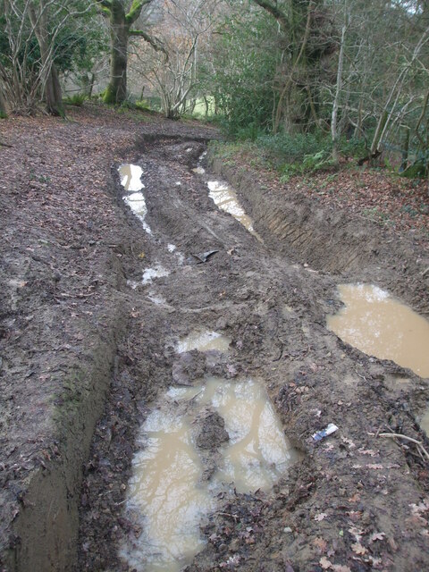
Image: © Neil Owen Taken: 14 Dec 2020
Winscombe Drove: perhaps standing for Wet and Muddy, or possibly the West Mendip Way. The vehicle ruts were about 2 feet deep in places.
Images are licensed for reuse under creativecommons.org/licenses/by-sa/2.0
Image Location


Leaflet Map data © OpenStreetMap
Latitude
51.303462
Longitude
-2.823333