Old track to Hill Farm (now Hadham Grange)
Introduction
The photograph on this page of Old track to Hill Farm (now Hadham Grange) by Robin Webster as part of the Geograph project.
The Geograph project started in 2005 with the aim of publishing, organising and preserving representative images for every square kilometre of Great Britain, Ireland and the Isle of Man.

There are currently over 7.5m images from over 14,400 individuals and you can help contribute to the project by visiting https://www.geograph.org.uk
Old track to Hill Farm (now Hadham Grange)
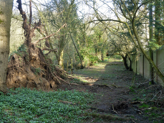
Image: © Robin Webster Taken: 13 Mar 2014
A public route at least as far as the stile on the left beyond the tree bole, but in the distance is a gate marked 'Private'.
Images are licensed for reuse under creativecommons.org/licenses/by-sa/2.0
Image Location


Leaflet Map data © OpenStreetMap
Latitude
51.85398
Longitude
0.07476