Nether Street, Widford
Introduction
The photograph on this page of Nether Street, Widford by Robin Webster as part of the Geograph project.
The Geograph project started in 2005 with the aim of publishing, organising and preserving representative images for every square kilometre of Great Britain, Ireland and the Isle of Man.

There are currently over 7.5m images from over 14,400 individuals and you can help contribute to the project by visiting https://www.geograph.org.uk
Nether Street, Widford
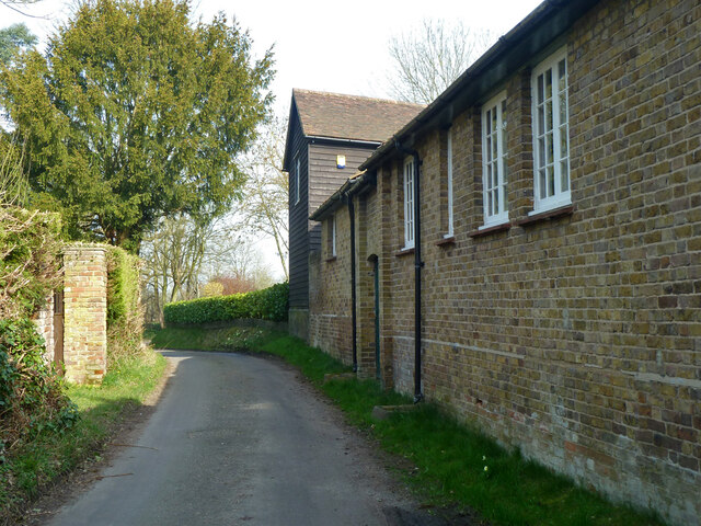
Image: © Robin Webster Taken: 13 Mar 2014
On the right are 18th century outbuildings attached to the earlier Barnfield house, and seemingly included in its grade II listing.
Images are licensed for reuse under creativecommons.org/licenses/by-sa/2.0
Image Location
Latitude
51.825275
Longitude
0.060525