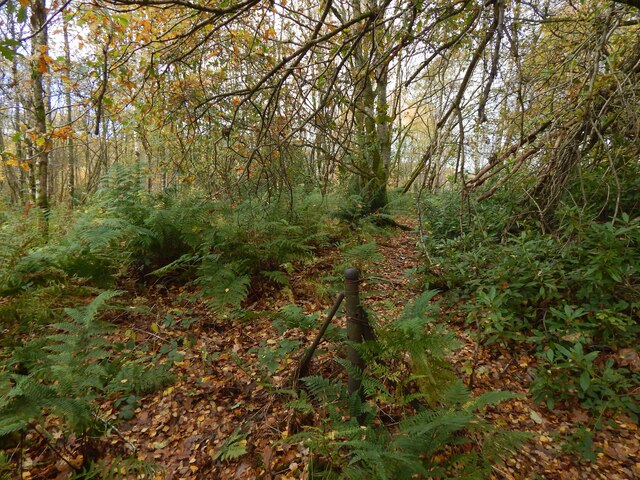
Remains of a fence in the woods
Introduction
The photograph on this page of Remains of a fence in the woods by Lairich Rig as part of the Geograph project.
The Geograph project started in 2005 with the aim of publishing, organising and preserving representative images for every square kilometre of Great Britain, Ireland and the Isle of Man.
There are currently over 7.5m images from over 14,400 individuals and you can help contribute to the project by visiting https://www.geograph.org.uk

Image: © Lairich Rig Taken: 4 Nov 2020
A short section of a boundary is marked here on large-scale mapping. The remains, here in Image, are not much to look at, but this is a relic of boundaries that were connected with Tullichewan Castle (demolished decades ago) and Drumkinnon Farm, which was the home farm and stables for the castle. Paths linked those two locations to each other and to a walled garden, which had glasshouses along the inside of its northern wall (the sunlit side). The building of the A82 (I remember the construction work taking place), and of the road leading down from the Image to Balloch, has disguised the former connections between sites. Tullichewan Castle (a castellated house rather than a castle) stood at Image: see https://canmore.org.uk/site/42482 at Canmore, and comments at Image The castle's eastern wall was on what is now the line of the A82 dual carriageway. As a building, Drumkinnon Farm survives: Image The walled garden is long gone; it was centred on Image, now part of a caravan park: Image / Image / Image The short section of boundary corresponds to one that is marked on the 1897 OS map revision; it gently curves, unlike the earlier version of the boundary that was depicted here, with a sharp turn instead, on the first-edition map (1860). For the history of these lands, see, under the heading "Tullichewan Castle and Estate", http://www.valeofleven.org.uk/scottishplacenames/Tvale_names.html (at the Vale of Leven website).

