Wenrisc Drive, Minster Lovell
Introduction
The photograph on this page of Wenrisc Drive, Minster Lovell by Des Blenkinsopp as part of the Geograph project.
The Geograph project started in 2005 with the aim of publishing, organising and preserving representative images for every square kilometre of Great Britain, Ireland and the Isle of Man.

There are currently over 7.5m images from over 14,400 individuals and you can help contribute to the project by visiting https://www.geograph.org.uk
Wenrisc Drive, Minster Lovell
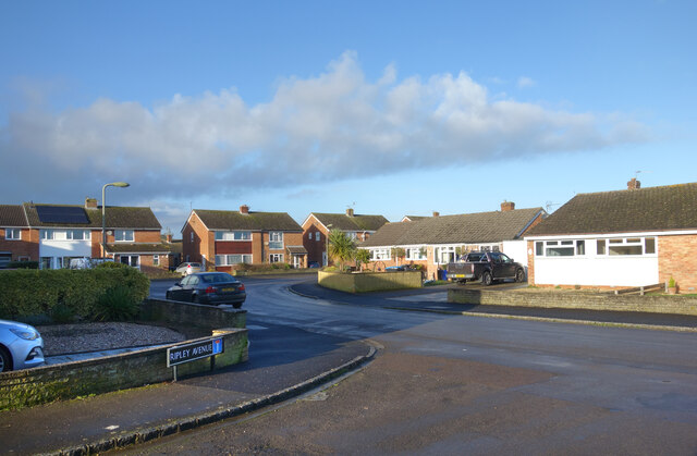
Image: © Des Blenkinsopp Taken: 15 Dec 2020
Wenrisc is an ancient spelling of Windrush, the local river, first recorded in AD 779. Thanks to the Upper Windrush Local History Society for that information http://www.uwlhs.uk/loc_hdr.html Seen here at the junction with Ripley Avenue.
Images are licensed for reuse under creativecommons.org/licenses/by-sa/2.0
Image Location
Latitude
51.793644
Longitude
-1.550757