River Stour & Hoo Brook
Introduction
The photograph on this page of River Stour & Hoo Brook by P L Chadwick as part of the Geograph project.
The Geograph project started in 2005 with the aim of publishing, organising and preserving representative images for every square kilometre of Great Britain, Ireland and the Isle of Man.

There are currently over 7.5m images from over 14,400 individuals and you can help contribute to the project by visiting https://www.geograph.org.uk
River Stour & Hoo Brook
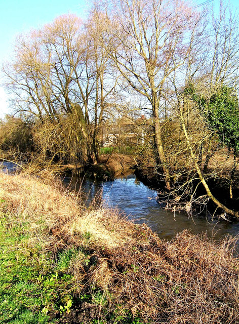
Image: © P L Chadwick Taken: 24 Jan 2008
Seen from the towpath of the Staffs & Worcs Canal which runs almost parallel to the River Stour at this point. Straight ahead is the narrow Hoo Brook which here enters the River Stour which is in the foreground. In the far distance is a building owned by Severn Trent Water.
Images are licensed for reuse under creativecommons.org/licenses/by-sa/2.0
Image Location


Leaflet Map data © OpenStreetMap
Latitude
52.368729
Longitude
-2.251986