Bread & Beer Cottage
Introduction
The photograph on this page of Bread & Beer Cottage by Chris Newman as part of the Geograph project.
The Geograph project started in 2005 with the aim of publishing, organising and preserving representative images for every square kilometre of Great Britain, Ireland and the Isle of Man.

There are currently over 7.5m images from over 14,400 individuals and you can help contribute to the project by visiting https://www.geograph.org.uk
Bread & Beer Cottage
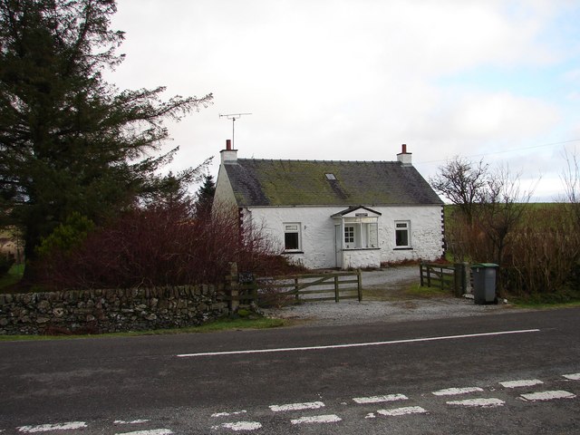
Image: © Chris Newman Taken: 28 Jan 2008
Bread & Beer Cottage, A712 E of Balmaclellan and W of Corsock. Name originates from being a drover's stop, although not known to have been an inn. Road behind photograph is north end of "The Hidden Road".
Images are licensed for reuse under creativecommons.org/licenses/by-sa/2.0
Image Location
Latitude
55.09012
Longitude
-4.040009