Network Rail access track
Introduction
The photograph on this page of Network Rail access track by David Lally as part of the Geograph project.
The Geograph project started in 2005 with the aim of publishing, organising and preserving representative images for every square kilometre of Great Britain, Ireland and the Isle of Man.

There are currently over 7.5m images from over 14,400 individuals and you can help contribute to the project by visiting https://www.geograph.org.uk
Network Rail access track
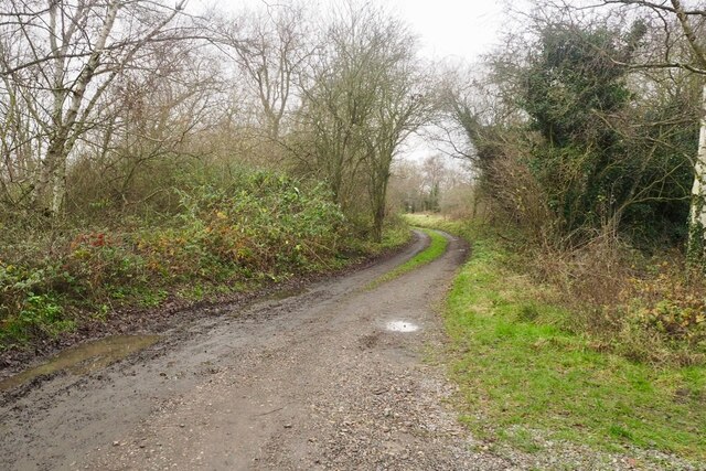
Image: © David Lally Taken: 9 Dec 2020
To the tracks at Trent Junction (behind the photographer) skirting the edge of the Forbe's Hole Local Nature Reserve,
Images are licensed for reuse under creativecommons.org/licenses/by-sa/2.0
Image Location
Latitude
52.886149
Longitude
-1.264466